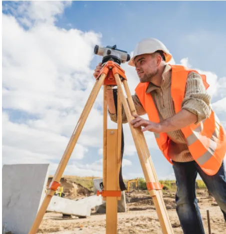
Commercial property projects involve several decisions before construction or development can begin. From understanding land boundaries to preparing accurate site plans, reliable measurements help property owners, developers and builders plan their work with greater confidence. Commercial land surveyors provide the information needed to assess a site, coordinate designs and reduce the risk of costly measurement errors.
What Do Commercial Land Surveyors Do?
Commercial land surveyors measure and document land to establish boundaries, record site features and support development activities. The exact services required depend on the property and the proposed work.
A survey may record land dimensions, levels, existing structures, access points and other physical features. This information can be used by architects, engineers, planners and builders when preparing designs or assessing whether a proposed development suits the site.
Surveyors may also undertake boundary surveys, detail surveys and construction set-out work. Each service has a different purpose, so it is important to identify the information your project requires.
When Should You Hire a Commercial Land Surveyor?
A commercial land surveyor may be needed at several stages of a property project.
Before purchasing commercial land: A suitable survey can help clarify boundaries and identify physical features that may affect future development. Legal, planning and title checks may also be necessary.
During design and planning: Architects and engineers often need accurate site measurements to prepare plans that reflect existing conditions. A detail survey can provide information about levels, structures and visible site features.
Before construction begins: Surveyors can mark out proposed building positions, boundaries and other reference points according to approved plans. This helps contractors establish the intended layout on site.
During property development: Subdivision and other land-related projects may require specific surveys and documentation to support the relevant approval process.
Why Accurate Surveying Matters
Surveying errors can lead to design changes, construction delays and disputes about property boundaries. Reliable measurements help project teams work with consistent information and identify potential issues before they become more expensive to resolve.
Accurate site data is particularly important on commercial properties where buildings, access routes, drainage, adjoining structures and existing services may affect the design. A surveyor can document relevant site conditions so the project team has a clearer understanding of the land.
What Is a Peg Out Survey?
A peg out survey is generally carried out to mark the positions of proposed building elements or boundaries on the ground. Surveyors use approved plans and measurements to establish reference points that construction teams can follow.
This service is useful when builders need to position structures accurately before work begins. The specific requirements depend on the project, the approved documentation and any applicable construction or certification conditions.
Choosing the Right Surveying Professional
Before engaging a surveyor, explain your project, site location and intended use of the survey. Ask about relevant experience, deliverables, timeframes and costs. You should also confirm whether the surveyor has the qualifications and registration required for the particular work.
Geo Point Surveyors can be considered when looking for surveying services for commercial property and construction projects. Choosing a surveyor whose services match your requirements can help you obtain reliable site information and plan the next stage of your development with greater confidence.