
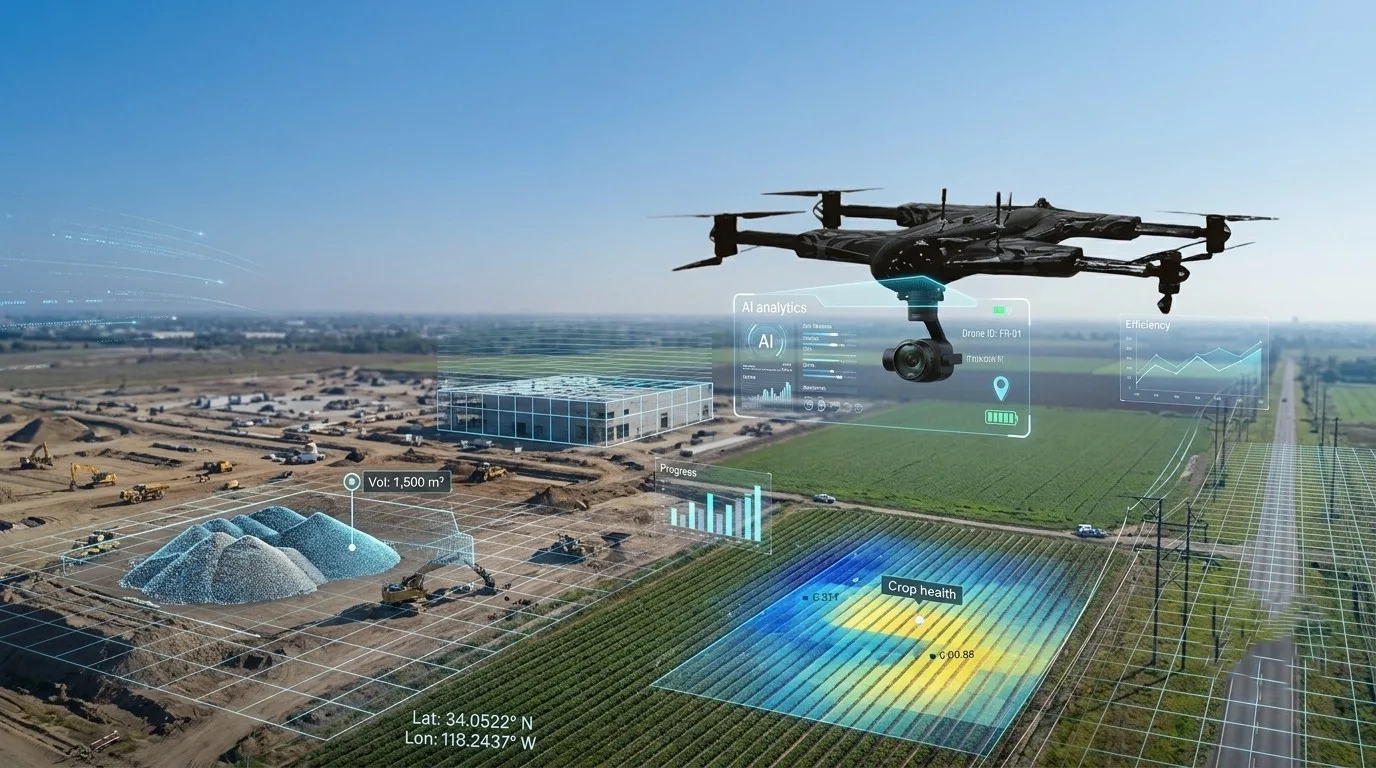
The rapid adoption of unmanned aerial vehicles (UAVs) has transformed how organizations collect and use information. From construction sites and agricultural fields to utility corridors and critical infrastructure, drones generate vast amounts of high-quality data in a fraction of the time required by traditional survey methods. However, collecting data is only the first step. The real value lies in effective drone data analysis, where raw aerial imagery and sensor information are converted into actionable insights that improve operational efficiency and decision-making.
What Is Drone Data Analysis?
Drone data analysis is the process of examining and interpreting information captured during drone missions. This includes visual imagery, thermal images, LiDAR point clouds, multispectral data, GPS coordinates, and flight telemetry. Using specialized software and analytical tools, organizations can identify patterns, measure changes, detect defects, and generate reports that support informed business decisions.
Unlike traditional inspections, drone-based analysis provides a comprehensive view of assets while minimizing manual effort and improving data accuracy.
The Drone Data Workflow
Successful drone operations rely on a structured workflow that ensures reliable results.
Mission Planning
Every project begins with careful planning. Flight altitude, image overlap, flight paths, weather conditions, and sensor selection all influence the quality of the final dataset. Proper planning reduces the need for repeat flights and improves processing accuracy.
Data Collection
Modern drones capture much more than aerial photographs. Depending on the mission, they may collect:
- High-resolution RGB imagery
- Thermal imaging
- LiDAR scans
- Multispectral imagery
- GPS and GNSS positioning data
- Flight telemetry
This combination of information creates a complete digital record of the surveyed area.
Data Processing
Once collected, drone data is uploaded into processing software where images are stitched together, 3D models are generated, and geospatial information is organized into usable formats such as orthomosaics, digital surface models, and point clouds.
Analysis and Reporting
The processed data is then analyzed to identify trends, detect anomalies, calculate measurements, or monitor changes over time. Reports, dashboards, and visual maps help stakeholders understand findings and make informed decisions.
Key Applications Across Industries
Drone data analysis supports a wide range of industries by providing faster access to accurate information.
Construction
Construction teams use drone analytics to monitor project progress, calculate stockpile volumes, compare site conditions with design plans, and improve communication between project stakeholders.
Infrastructure Inspection
Bridges, power lines, pipelines, communication towers, and industrial facilities can be inspected without exposing workers to hazardous environments. High-resolution imagery enables maintenance teams to identify defects before they become costly failures.
Agriculture
Precision agriculture relies on drone imagery to monitor crop health, identify irrigation issues, detect pests, and optimize fertilizer application. Multispectral sensors provide valuable information about plant health that is not visible to the naked eye.
Surveying and Mapping
Surveyors use drones to generate highly accurate topographic maps, digital terrain models, and 3D reconstructions while significantly reducing fieldwork time.
The Role of Artificial Intelligence
Artificial intelligence has become an essential component of modern drone data analysis. Instead of manually reviewing thousands of images, AI algorithms can automatically identify defects, classify objects, detect changes, and prioritize areas requiring attention.
Computer vision technologies continue to improve the speed and consistency of inspections by reducing human error and enabling near real-time analysis.
Benefits of Effective Drone Data Analysis
Organizations that invest in structured drone data workflows gain several advantages:
- Faster project completion
- Improved operational safety
- Higher data accuracy
- Reduced inspection costs
- Better asset management
- More informed decision-making
- Enhanced collaboration through digital reporting
These benefits make drone technology an increasingly valuable tool for businesses seeking greater operational efficiency.
Best Practices for Managing Drone Data
To maximize the value of aerial information, organizations should adopt clear data management practices:
- Plan missions carefully to ensure complete coverage.
- Verify image quality before leaving the site.
- Organize files using standardized naming conventions.
- Maintain secure backups of project data.
- Document flight metadata for future reference.
- Regularly update processing software and drone firmware.
- Protect sensitive information using appropriate access controls.
Following these practices helps maintain data integrity and supports long-term analysis.
Looking Ahead
As drone technology continues to evolve, the integration of AI, cloud computing, and advanced sensors will make drone data analysis even more powerful. Automated object detection, digital twins, predictive maintenance, and real-time analytics are already reshaping industries that depend on accurate aerial intelligence.
Organizations that establish efficient data collection and analysis workflows today will be well positioned to take advantage of these emerging capabilities.
Conclusion
Drone data analysis is far more than processing aerial photographs. It is a complete workflow that transforms raw drone imagery and sensor data into meaningful insights that support planning, inspections, maintenance, and strategic decision-making. By combining accurate data collection, reliable processing methods, and intelligent analytics, organizations can unlock the full value of their drone operations and improve outcomes across a wide range of industries.
Businesses looking to enhance their aerial operations should also evaluate professional drone platforms that support reliable data acquisition and enterprise workflows. Solutions such as data collection drones are designed to help organizations capture high-quality aerial information for mapping, inspections, and asset management, forming the foundation for effective drone data analysis.